

After the Peace Museum we decided to go on a boat tour, since it was something a bit more cheerful. There was a boat getting ready to depart from near the Peace Park right as we crossed the bridge back towards the A-Bomb Dome.
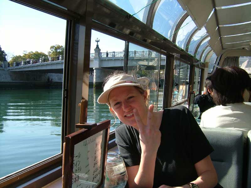
Here's Kim getting ready for the boat to depart. Behind her you can see the bridge to the Peace Park.
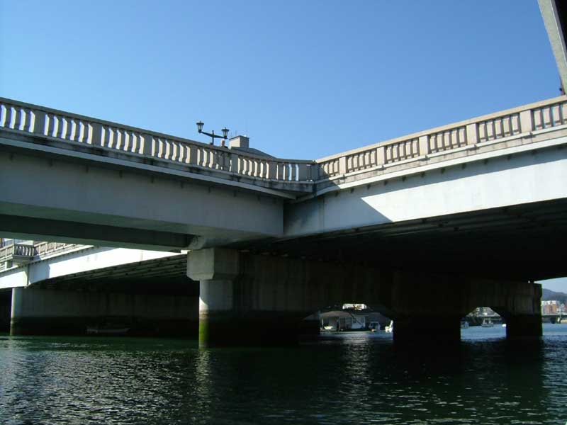
This is a unique t-shaped bridge that connects two sides of the river and the penninsula with the Peace Park. It was also, incidentally, the Enola Gay's target. The actual explosion was about 300 yards to the right of this picture.
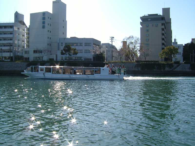
After the first two bridges, we passed our sister ship heading back from a longer boat tour that is available.
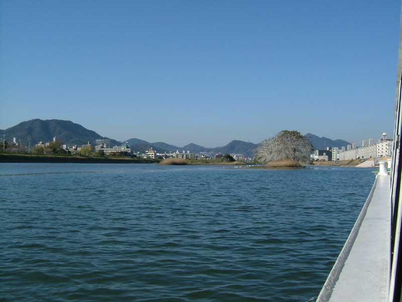
The city of Hiroshima actually started as the confluence of several mountain rivers with very little flat land available. In the hills around the fledgling city, iron mining accelerated the erosion process, leading to the accumulation of more land at the base of the mountains. Eventually, local leaders organized work parties to build more landfill and flatten the land by foot (there was actually an official land-packing dance and festival). Modern Hiroshima looks to be at least half reclaimed land. In this picture you can see some of the islands in the broad river that are likely sediment from the mountains.
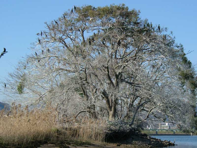
On one island there was a tree with lots of different types of water birds. There are practically no animals larger than a mouse in Japan except amongst the birds. There are tons of birds--including many hawks in the Shonai region.
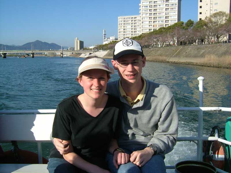
The kindly boat tour guide took our picture after she had given all of her descriptions.
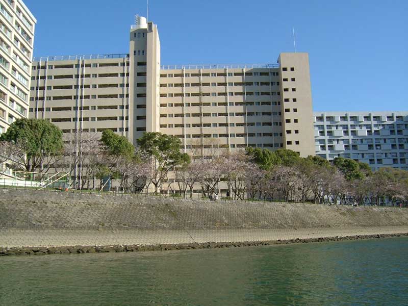
These are prefectural employee apartment buildings--just like the one we live in, except much larger. Along the shore you can see budding sakura.
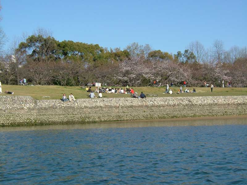
And here is Hiroshima Central Park, where hanami parties are beginning.