
Sometime in October we had two three day weekends. On one of these weekends, we decided to hike up Mount Takadate. Takadate is the peak for a chain of mountains that stands between the Shonai plain and the Sea of Japan. We had attempted Takadate once before, using a hand-drawn map from a former ALT, but became so lost that we wandered up and down "paths" (they may have been our imagination) until we grew tired. However, round two of the attempt to summit (if you can call it a summit) Mount Takadate was successful. Takadate is 20 minutes by bike or 10 minutes by car from our apartment. We were later told by students who live in Oyama, the town near Takadate, that the mountain is haunted by spirits. This may explain why there were so few people in this park.
.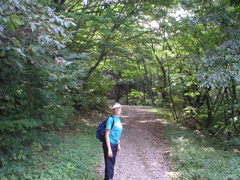
This is Kim (Kimu, using the katakana pronunciation) on the path to Mount Takadate. The park that surrounds Takadate contains many shrines and there is a path around two small lakes.
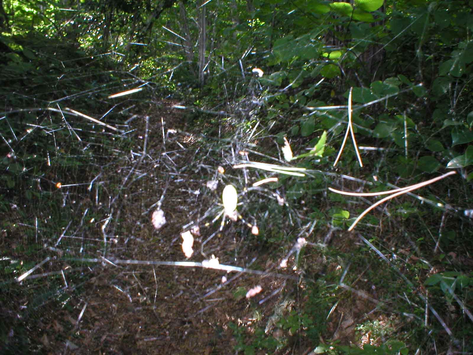
On the path up to the top there was a gargantuan spider (well, big to a midwesterner) and a web that completely blocked the path. We crawled under the web, hoping the spider would not think we were a meal and drop down on us. Fortunately, the spider had several tasty meals awaiting it already.
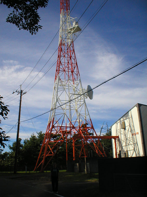
We had seen the antennas from the bottom of the mountain but when we got to the top, we were surprised at all of the buildings. There is a paved route up the mountain for cars (we took the rugged and very steep forest path through the park). This is Kim in front of one of the towers.

At the top of the mountain was an observation tower. Here is Peter in the observation tower. The tower you saw in the previous picture is to the right. In the background is the Sea of Japan and the town of Yunohama.
From the observation tower we had some pretty good views. On the northwest side of the tower was the Sea of Japan and the foothills leading to it. In the water is a gray blur: these are the concrete breakers to help protect the coast. There is a highway along part of the shore.
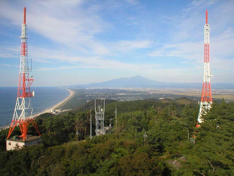
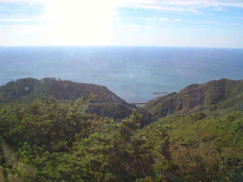
This is another angle showing the Sea of Japan to the left and the shoreline. The mountain peak is Mount Chokai, which is on the northern border of the Shonai plain. This is the mountain where the Halloween party was held (at a lodge).
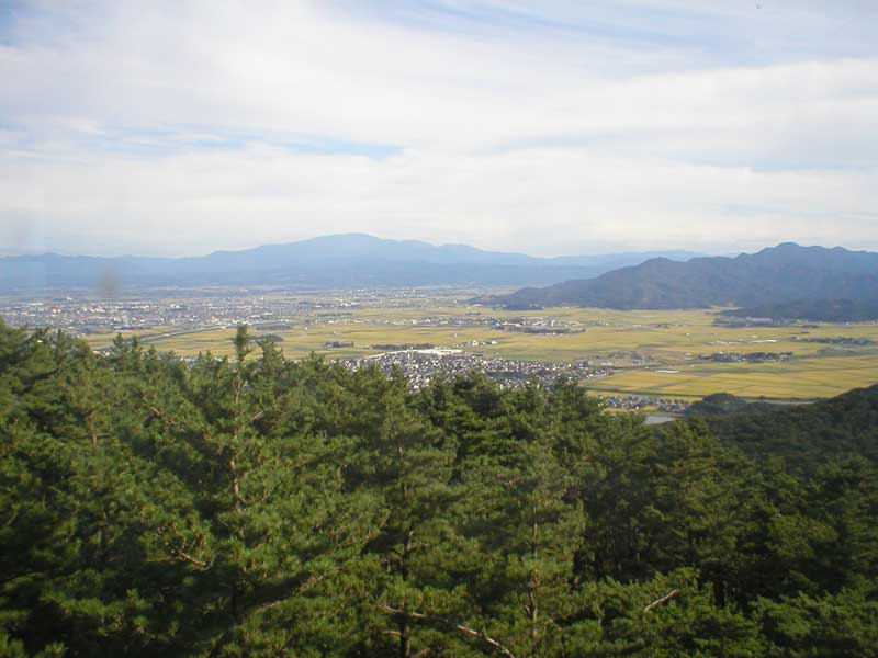
From the east side of the tower you can see the Shonai plain. Ooyama is the cluster of buildings just above the trees. On the left hand side of the picture is our city, Tsuruoka.
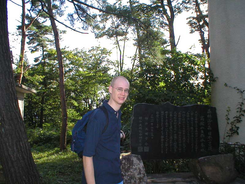
At the bottom of the observation tower was carved stone. Peter is standing next to it. The stone is in kanji, Chinese characters. We tried to guess what it said. On the left of the picture one can catch a glimpse of the public toilets available. The toilets were squat style, dirty, and had no doors. We decided to stay away from them.
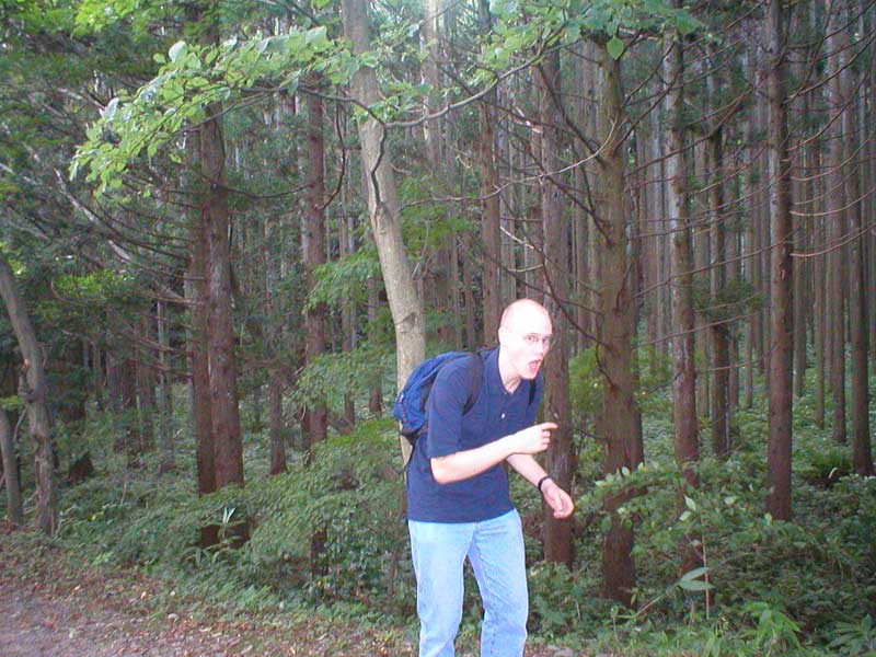
This is Peter back at the bottom of the trail. He is very happy (this is what he looks like when he is glad a task is over). The picture shows some of the beautiful woods we hiked through to get to the top of the mountain.
We were very tired in the end and wearily walked back to our bikes (we did not have a car yet). However, we splurged on some decent beef when we got back to town as a treat for all of the hard work.
Here are some new pictures of Takadate from recent visits.
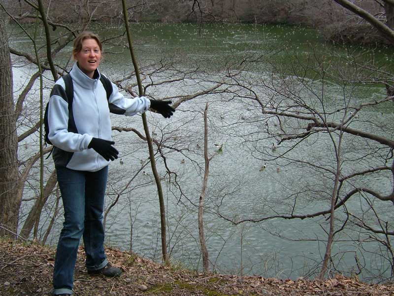
Here is Kim in early spring with the ducks at the pond. She looks thrilled!
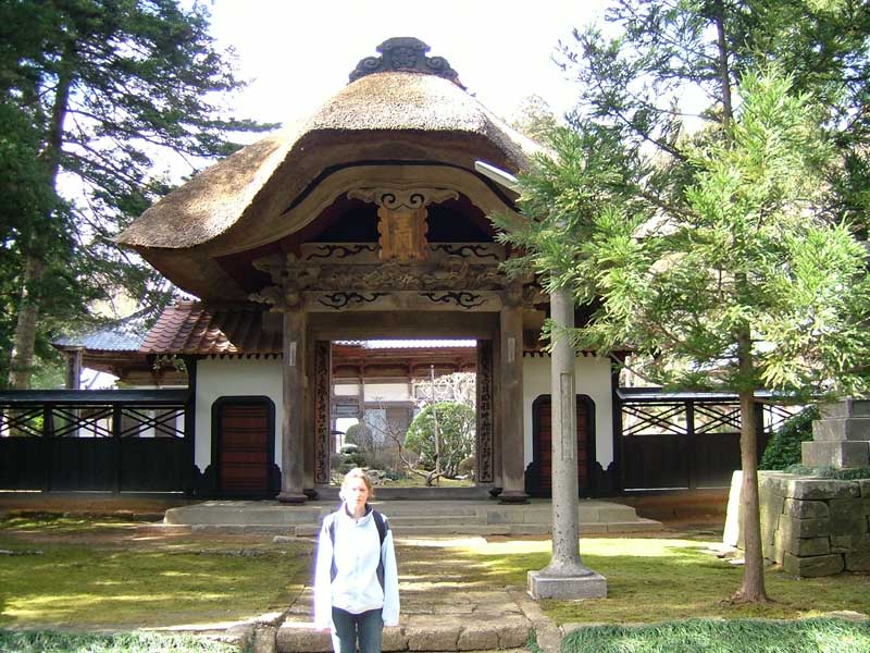
Takadate has many shrines towards the top. There are also shrines in the neighborhood. Here is Kim in front of a random shrine.
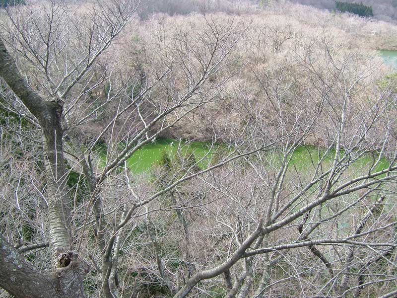
This is a rather interesting picture of the lake near Takadate. For some reason in spring it looked really green.
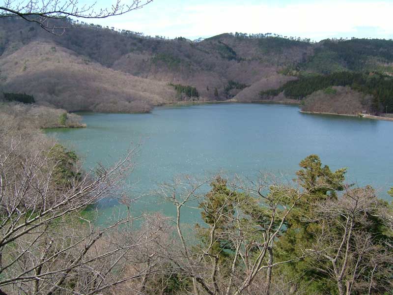
Here is a picture of the large lake. Takadate has two small lakes.
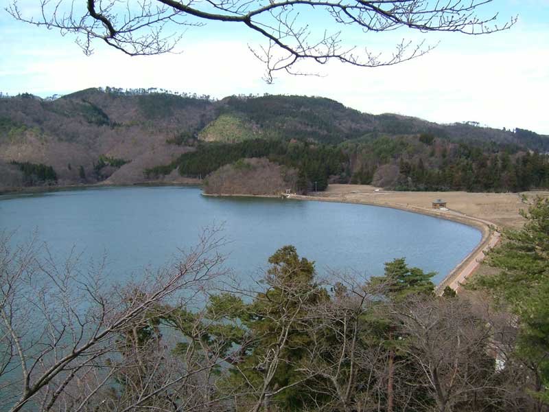
There is also a resevoir, as you can see from this picture.
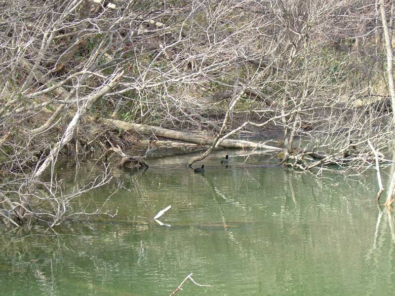
Here were some interesting black-gray ducks that we saw in the pond. We were walking around the lake area and found an observatory. So, it turns out Takadate is also a bird sanctuary area which accounts for the large number of waterfowl.
Takadate is a wonderful place for a quick hike!